Photos of various backcountry airstrips, mostly in Utah. Taken during driving trip
April 13-16, 2004. Most of the strips looked usable in dry conditions (exceptions noted).
None looked usable in wet conditions.
|
|
|
Click on image for larger version.
| Comments.
| Runway length (ft).
|
| Dolores Point. Lies on a ridge above Gateway, CO. Runway in good
condition.
| 2000 (according to UBCP).
|
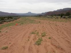
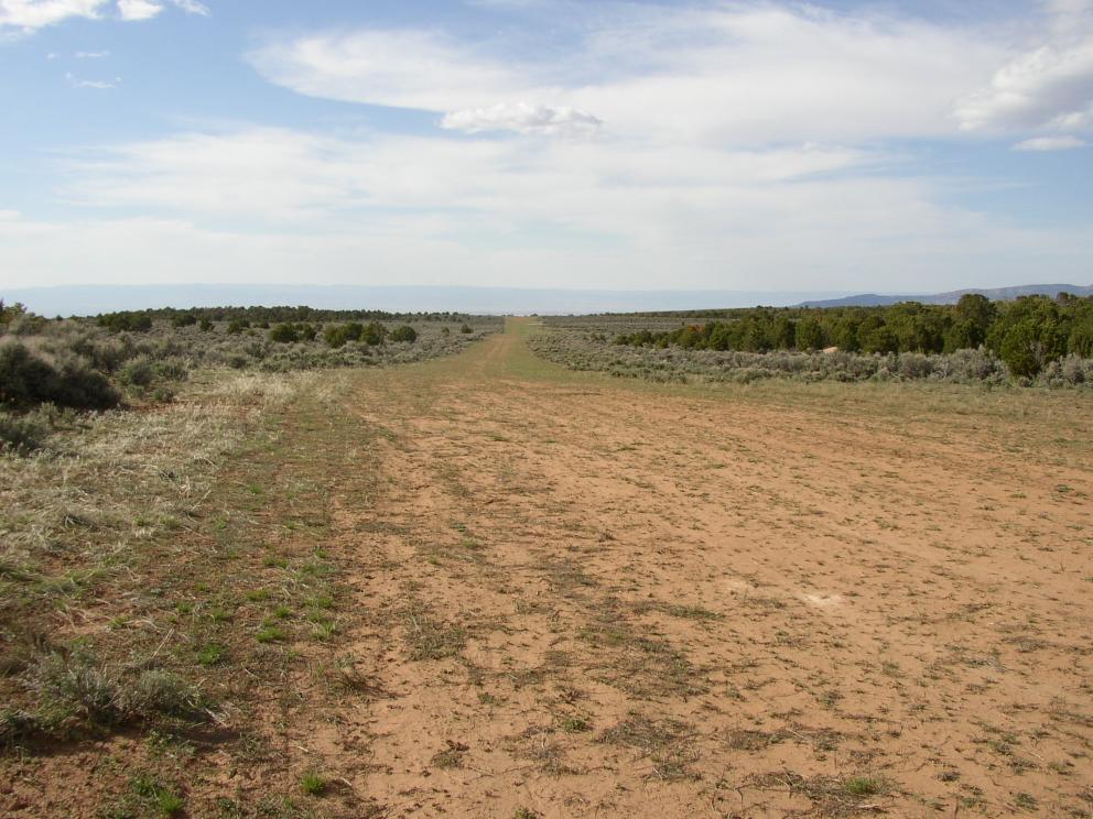
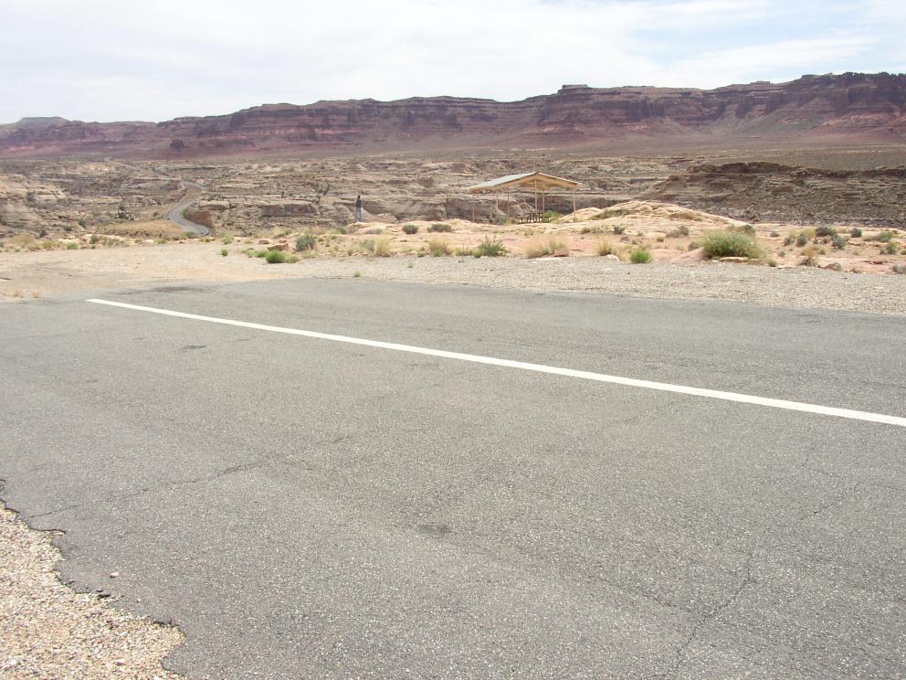
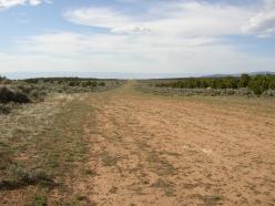
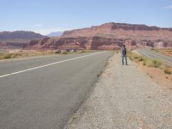
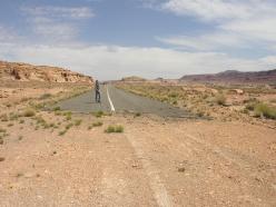
| Fry Canyon (UT74). Next to hwy 95. Note windsock at far end. Runway
was in good condition.
| 2400 (applying haversine function to GPS coords).
|
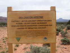
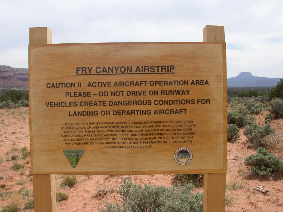
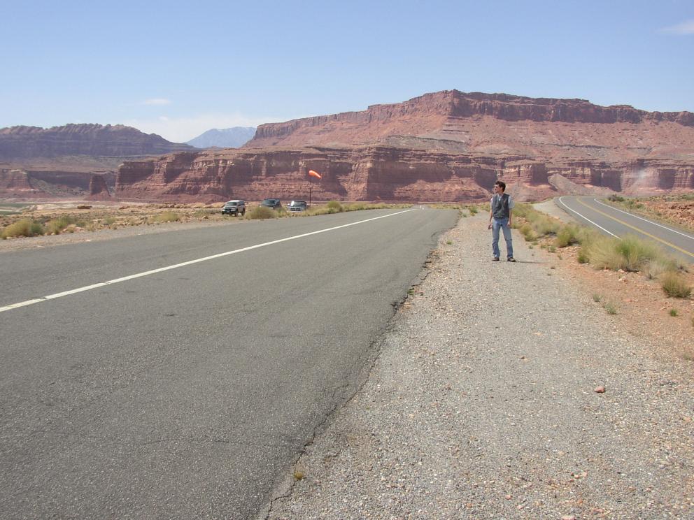
| Sign at Fry Canyon.
|

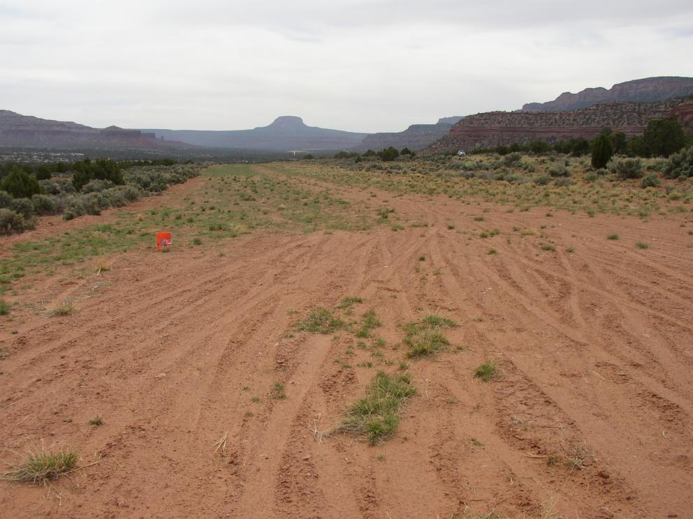
| Road across Fry Canyon and runway end markings.
|
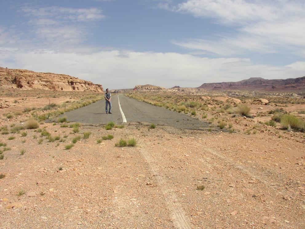
| Hite (UT03). Next to hwy 95. Runway is in excellent condition and
slopes down to the west. Tiedowns midfield on north side. 2 windsocks.
| 2200.
|
| Looking to the west down the runway at Hite.
|
| East end of runway at Hite, looking west.
|
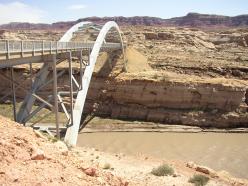
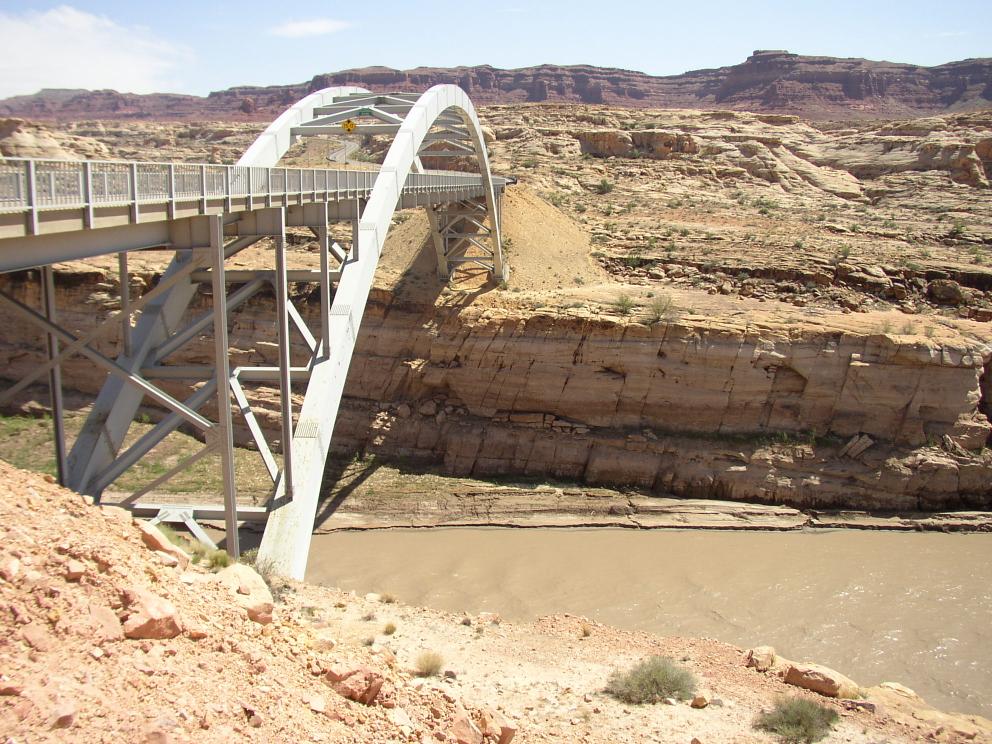
| Bridge across the Colorado River at Hite.
|
| Brown's Rim, just north of Hite. Runway was quite soft, though dry.
Wouldn't dare take a Skyhawk in here.
| 2100 (according to UBCP).
|
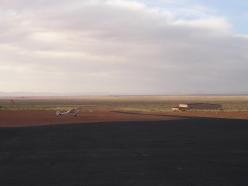
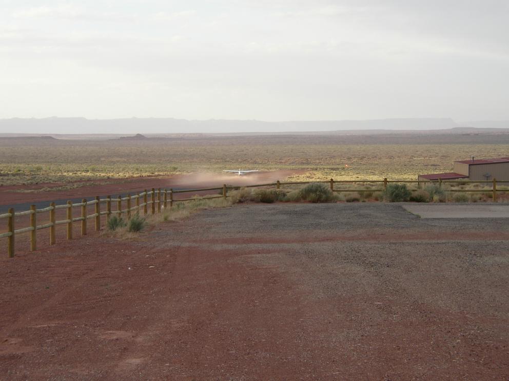
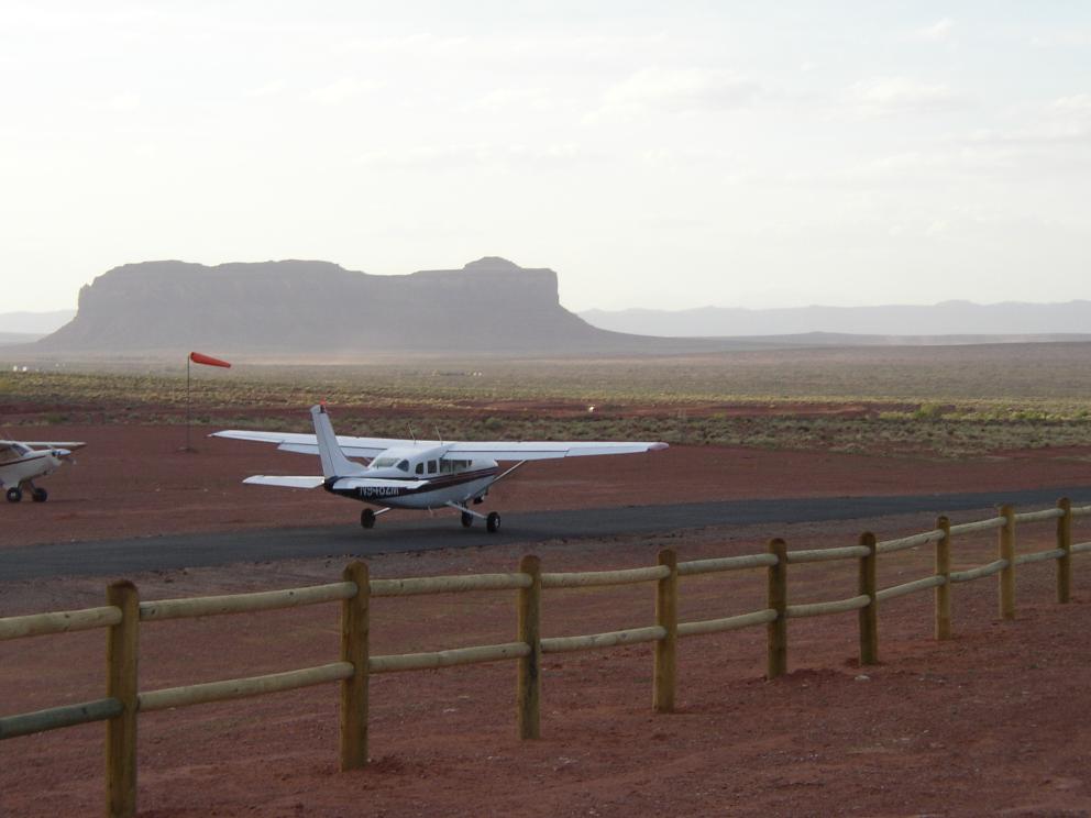
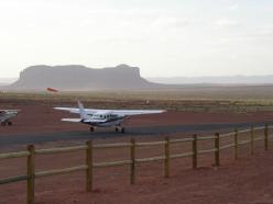
| Monument Valley (UT25). Runway slopes down to the east.
Goulding's Landing with motel, campground, gas, etc. not shown.
| 4000 (according to AirNav).
|
| Skylane taking off at Monument Valley.
|
| Cessna 207 taking off at Monument Valley in strong X-wind.
|
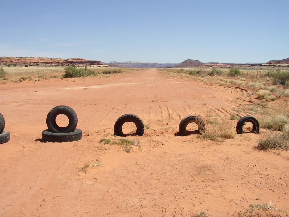
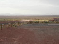
| Needle's Outpost (UT59). Runway was in excellent condition, but is
likely unusable when wet.
| 4500 (according to UBCP).
|
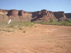
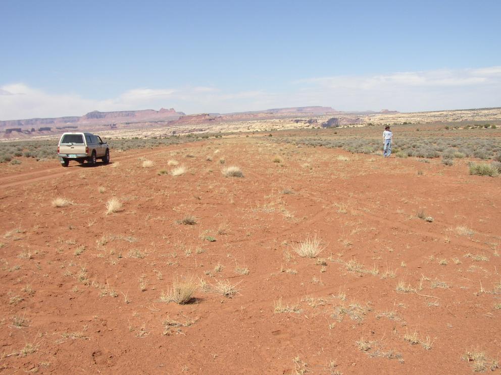
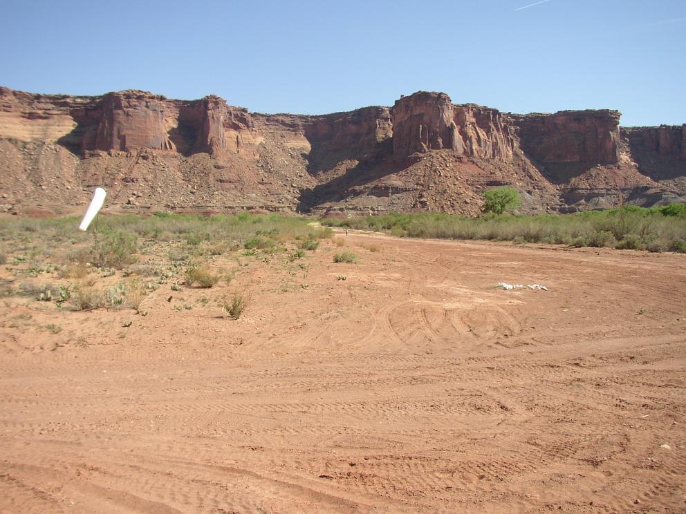
| Mineral Canyon (UT75). Runway was in good condition, but with a few
soft spots. Next to the Green River. Wind sock at west end.
| 2189 by GPS coords. Last 300 feet at east end somewhat soft.
|
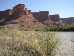
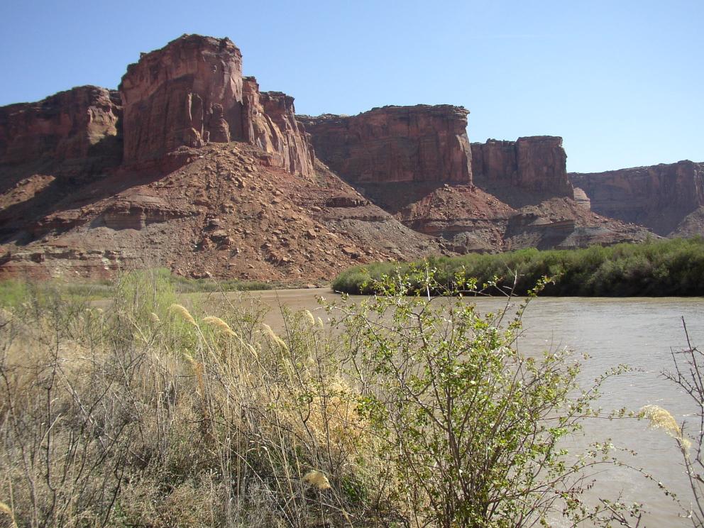
| Green River at Mineral Canyon.
|
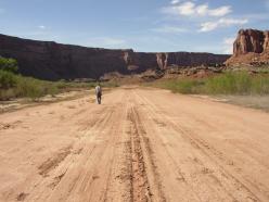
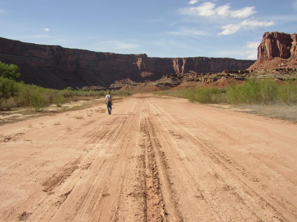
| Looking to the west at Mineral Canyon. Runway slopes up slightly
to the west.
|

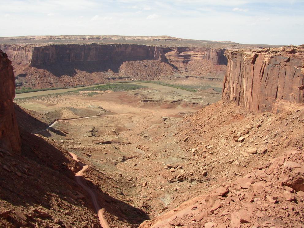
| Road descending to Mineral Canyon.
|