
Click on images for a larger version.
|
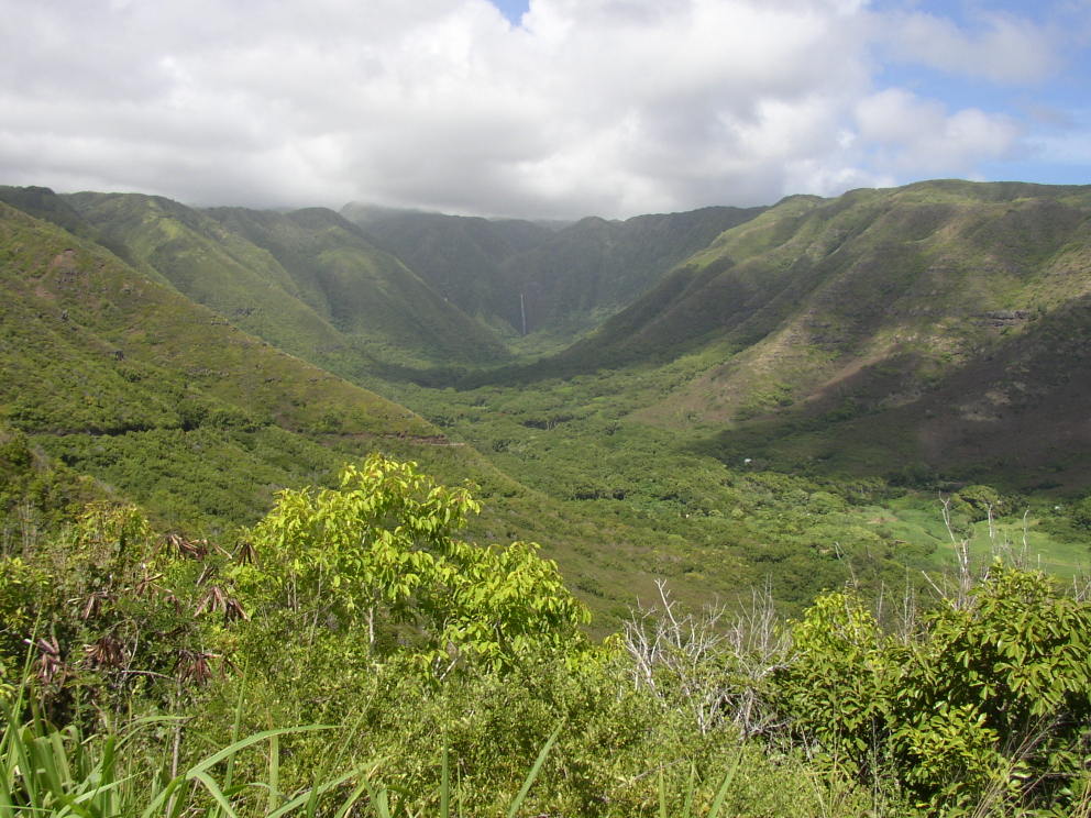
| Halawa Falls from the road. Lots of "Beware of Dog", "No trespassing", etc. signs and a locked gate at the trailhead. Apparently you're supposed to get a guide to do this hike. |
|---|---|
|
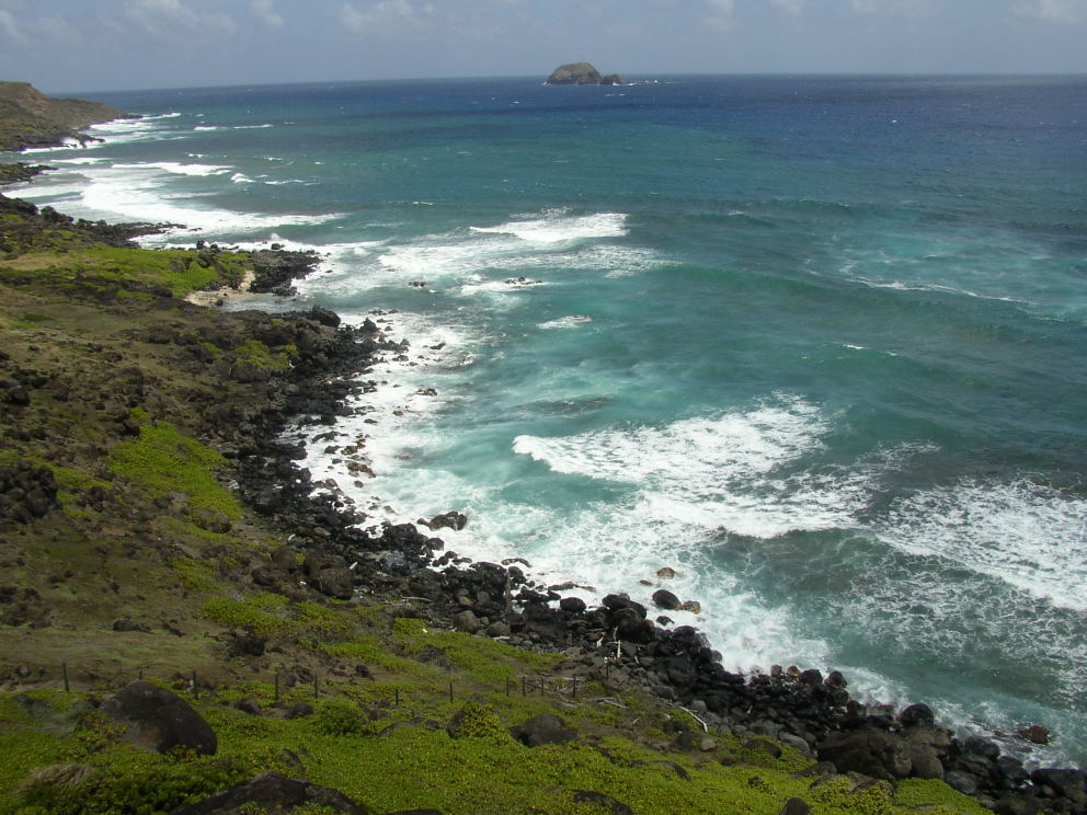
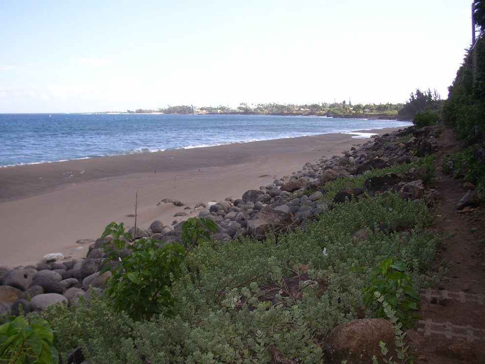
| Along the south shore highway. |
|
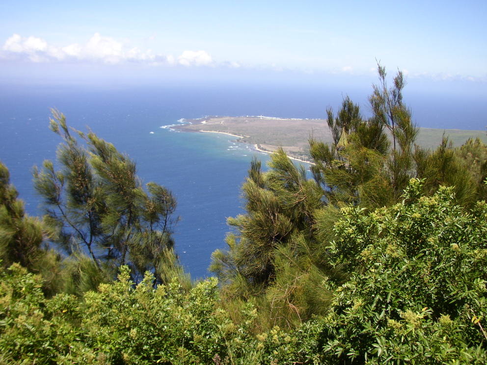
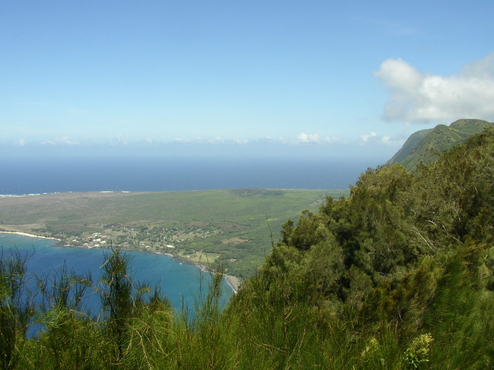
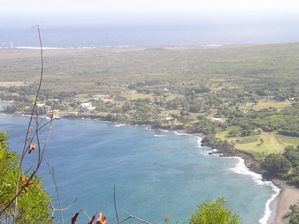
| Kalaupapa peninsula. This is where the leper colony was established by King Kamehameha in the 1860s. Outside visitors were prohibited until the 1960s. |
|
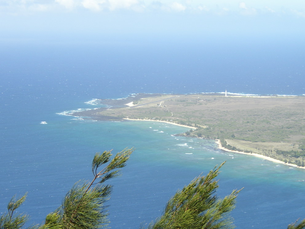
| Closeup of the runway on the Kalaupapa peninsula. |
|
| Town of Kalaupapa. |
|
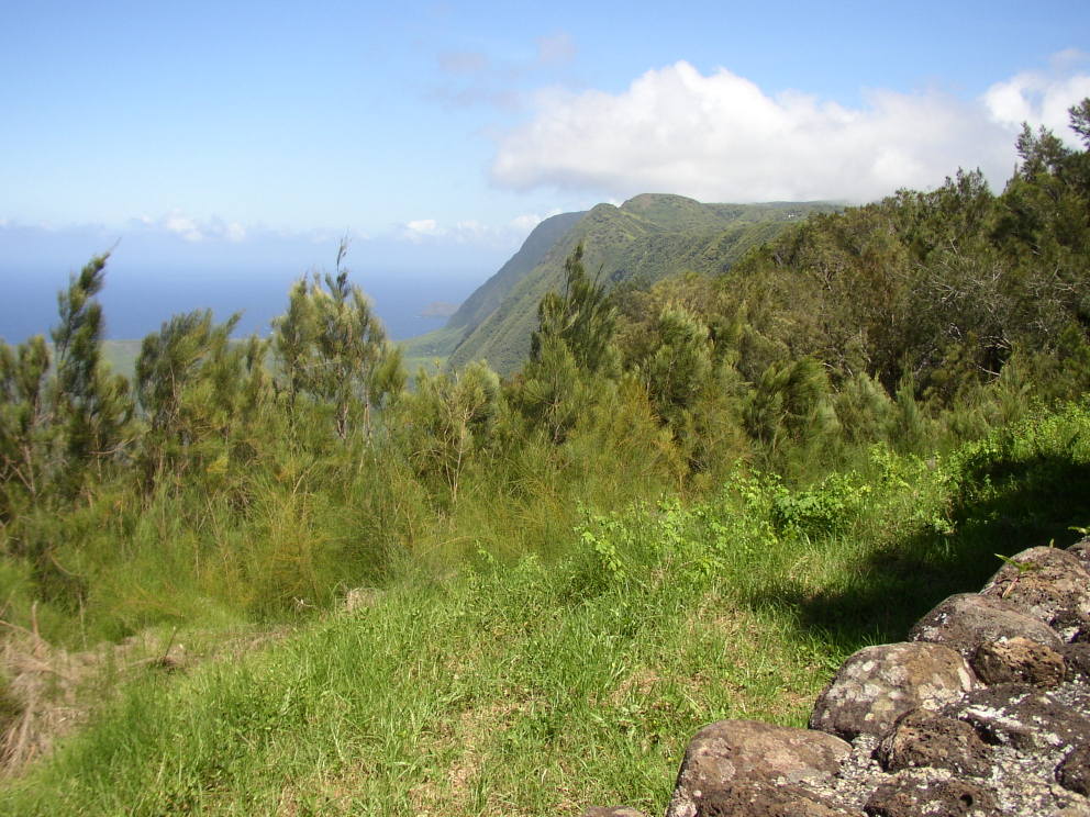
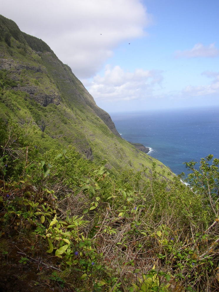
| Cliffs to the south of the Kalaupapa peninsula. |
|
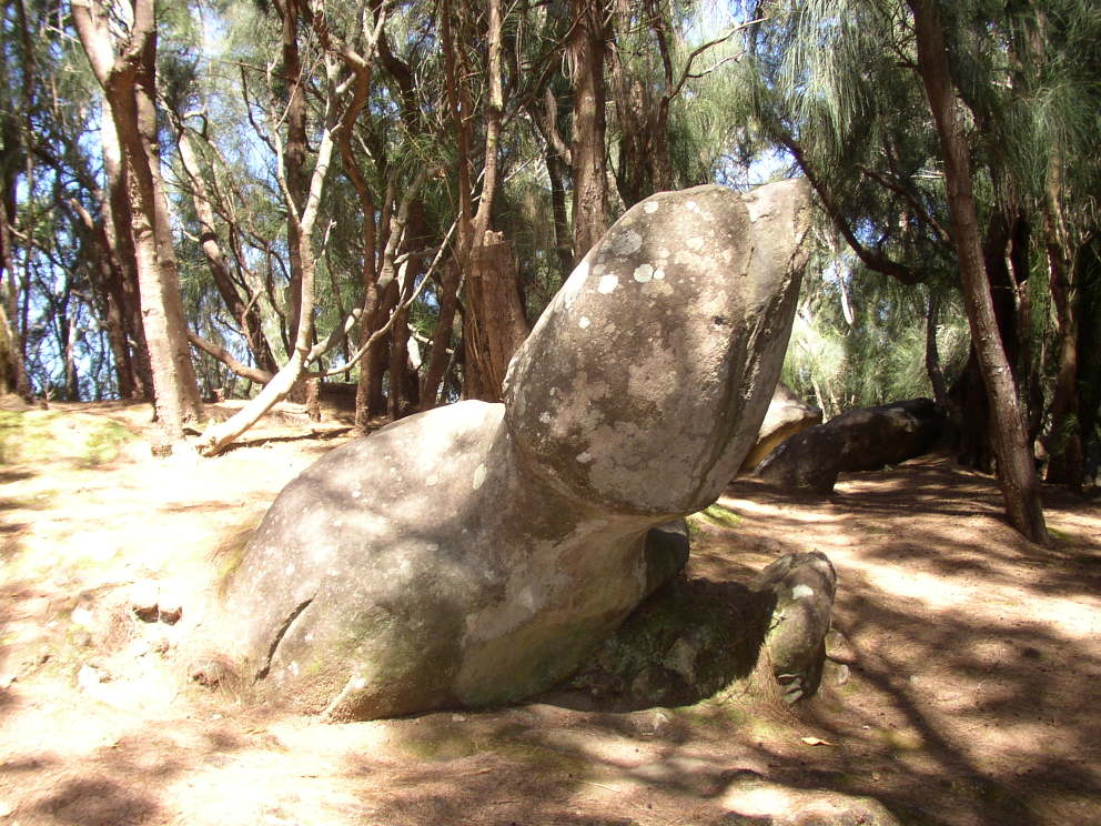
| Phallic rock. |
|
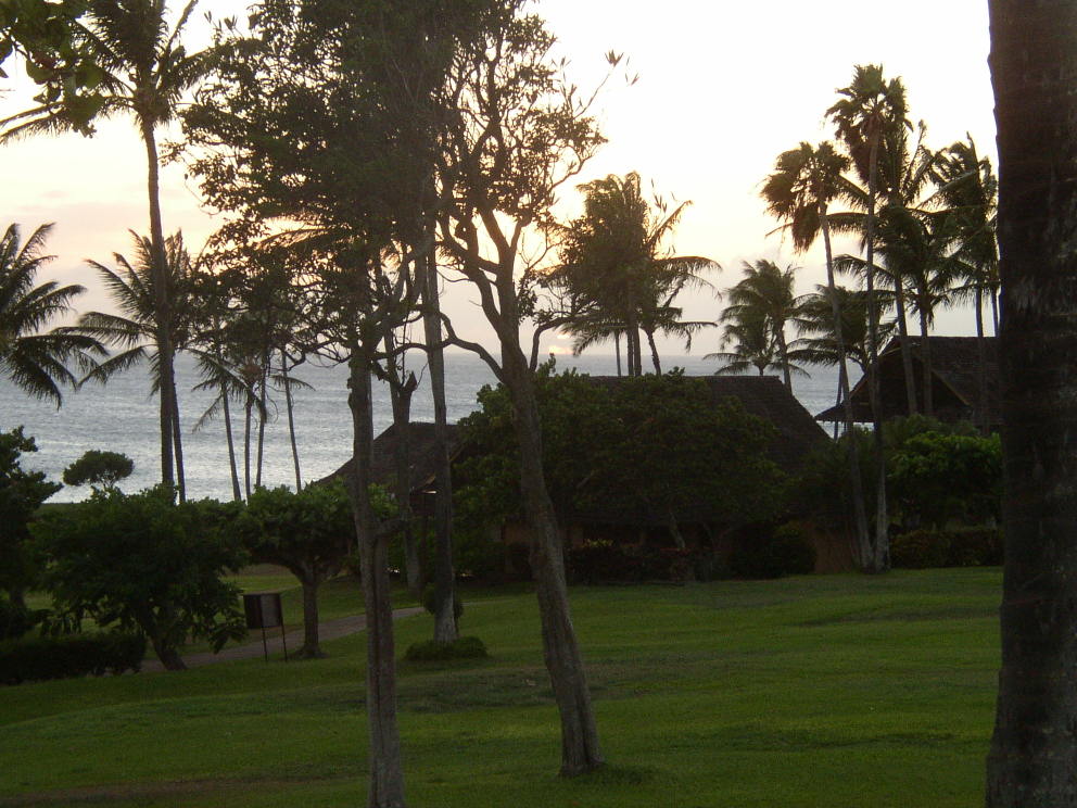
| Sunset from Kaluakoi Villas, a nice resort in the middle of nowhere on the west end of Molokai. |
|
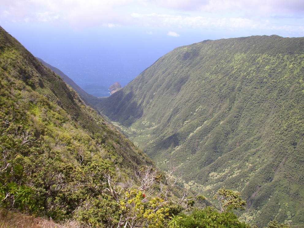
| View down the valley to the ocean from Waikolu Lookout in the Molokai Forest Reserve. |
|
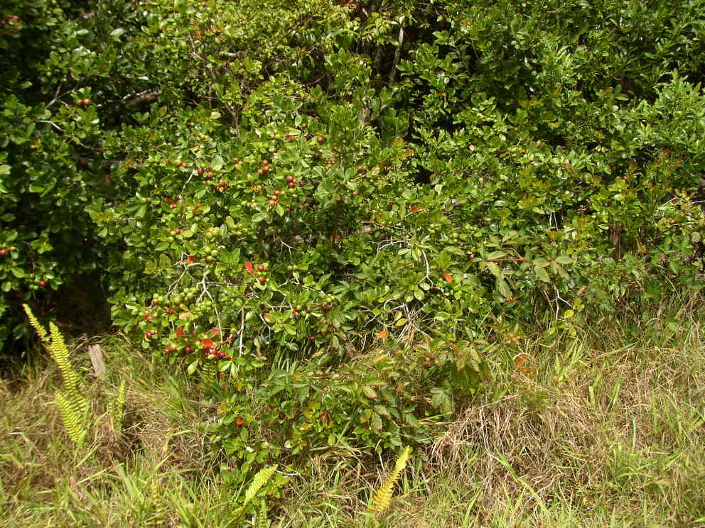
| Guava berries. Delicious. |
|
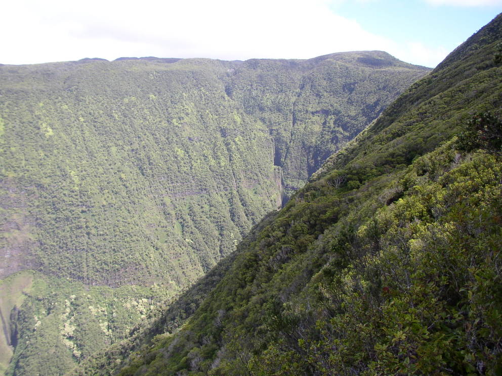
| Looking back up the valley after hiking down from Waikolu Lookout. Classic box canyon--if you try to fly up this valley below treetops they'll carry you out in a box. |
|
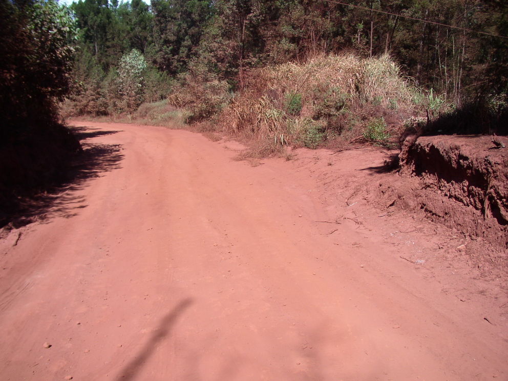
| The road into the Molokai Forest Reserve is 10 miles of dirt. Some of it is this very red color. |
|
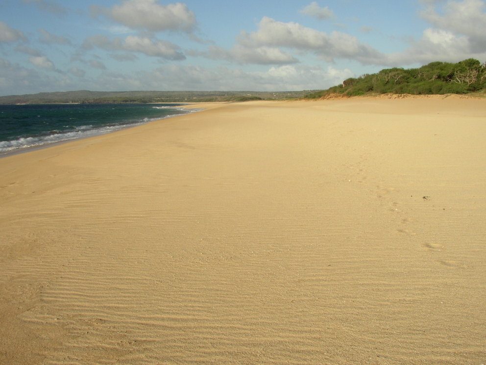
| Wonderful long, empty, white sand beach south of Kaluakoi Villas. |
|
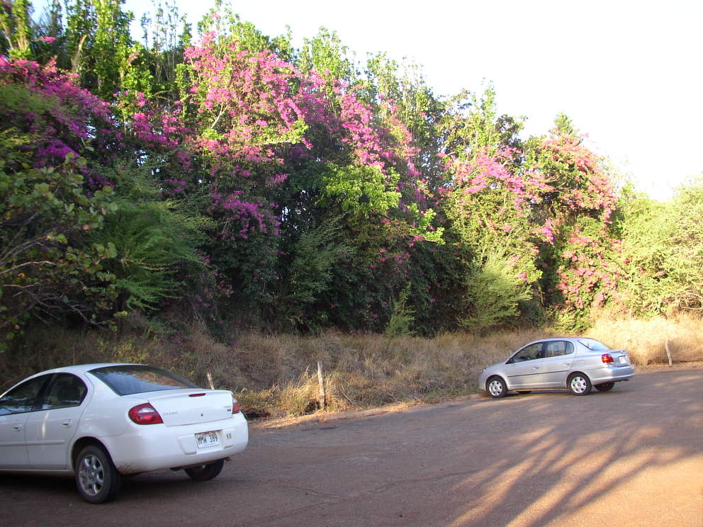
| Beautiful flowers just inland from the beach. |
|
| Town of Kalaupapa after hiking down the cliff trail. |
|
| Town of Kalaupapa from the trail. |
|
| Cliffs from along the trail. |
|
| Dire consequences if you don't get a permit before doing the hike. I didn't, and neither did any of the folks I met along the trail. |
|
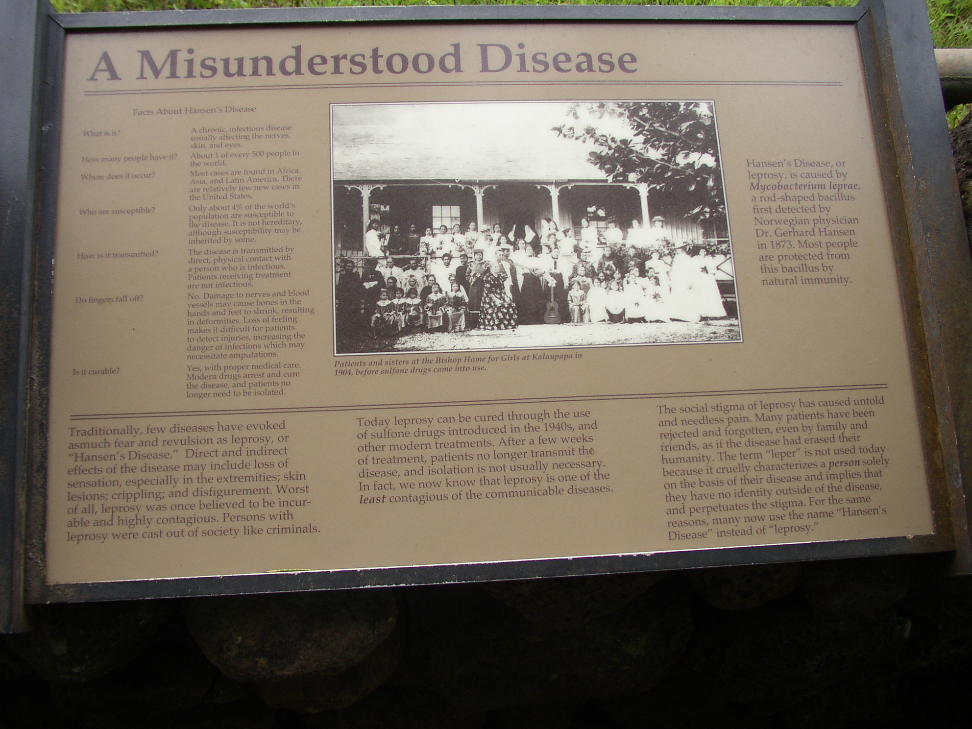
| Panel describing Leprosy, also known as Hansen's Disease. Click on the image and the text should be readable. |
|
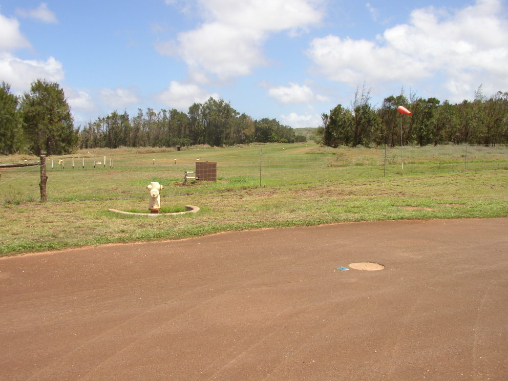
| Airstrip in west Molokai. Unmarked on all the maps I have. |