Photos taken during visit to Hawaii's big island November 27-28, 2005.
Click on images for a larger version.
|
|
|
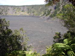
| Kilauea Iki crater. Eruption was around 1959 I believe.
|
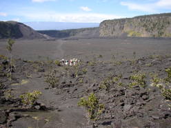
| Kilauea Iki crater from inside.
|
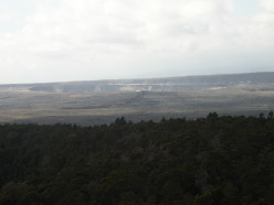
| Halema'uma'u crater (inside Kilauea caldera) from rim of Kilauea
Iki crater. Steam can be seen rising from vents.
|
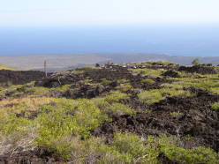
| Lava shelf created by previous Kilauea eruptions
|
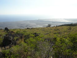
| Lava shelf created by previous Kilauea eruptions
|
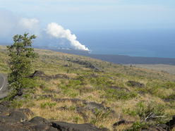
| Steam rising from where current Kilauea eruption flows into the
Pacific
|
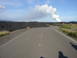
| Road closed (1983?) due to lava flow.
|
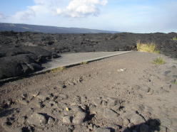
| Road closed (1983?) due to lava flow.
|
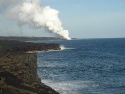
| Walking closer to the flowing lava from here becomes more difficult.
This point is maybe a half-mile from the parking lot.
|
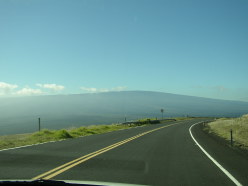
| Mauna Loa peak. Fairly unspectacular due to even grade throughout.
|
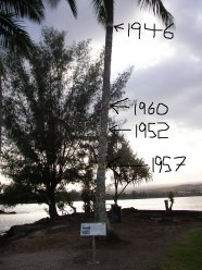
| Tree on Coconut Island in Hilo shows high water mark from 4 previous
tsunamis. The biggest was 26 feet in 1946. Even the 15 footer in 1960
was enough to decimate Hilo.
|
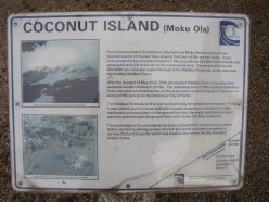
| Plaque on Coconut Island tree in Hilo describes tsunami events.
|


