Photos taken during trip to Great Sand Dunes and Black Canyon of the Gunnison
National Monuments October 18-20, 2003.
Click on images for a larger version.
|
|
|
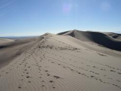
| Sand dunes
|
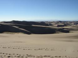
| Sand dunes
|
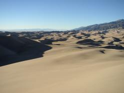
| Sand dunes
|
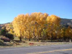
| West of Alamosa on hwy. 160
|
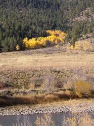
| Between Alamosa and Creede on hwy. 149
|
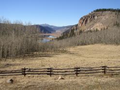
| Headwaters of the Rio Grande on hwy. 149
|
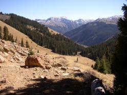
| Near treeline on hike to Wetterhorn/Matterhorn peaks
|
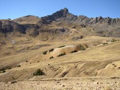
| Wetterhorn peak (a 14er)
|
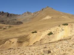
| Matterhorn peak
|
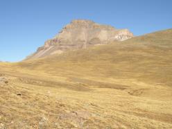
| Uncompaghre peak (a 14er)
|
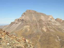
| Uncompaghre peak from the hike toward Matterhorn
|
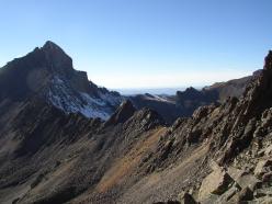
| Ridge between Wetterhorn and Matterhorn
|
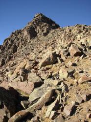
| Matterhorn peak
|
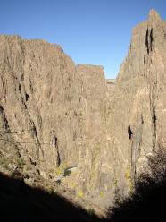
| Gunnison River from Black Canyon of the Gunnison
|
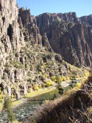
| Gunnison River from Black Canyon of the Gunnison
|
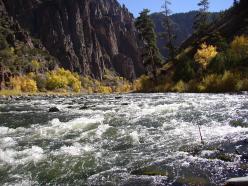
| On the Gunnison River
|
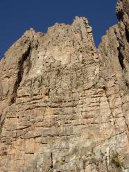
| Vertical cliff from the Gunnison River
|
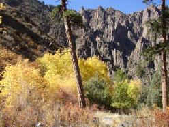
| Fall colors
|
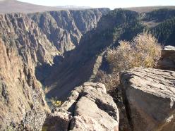
| After the climb back up
|


